UTAH
Zion National Park
We left for Zion Friday morning, which is about a 5 hour drive from Salt Lake City. This time though, we were planning to camp. Arches was much colder at night time, while Zion had lows of mid-40’s. We ended up picking out a spot at Hurricane Cliffs Recreation Area BLM.
We did dry camping, meaning no water and no bathrooms. And you can’t poop in the desert! While these campsites are out on dirt roads, it’s actually pretty quick to get back into town for gas, coffee and toilets. It’s also only about 35 minutes to Zion. That said if your car can’t go offroad this will be a no-go.
One advantage of BLM camping is we were spaced out from fellow campers and we had amazing views and serenity. Tent and jeep sadly not pictured.
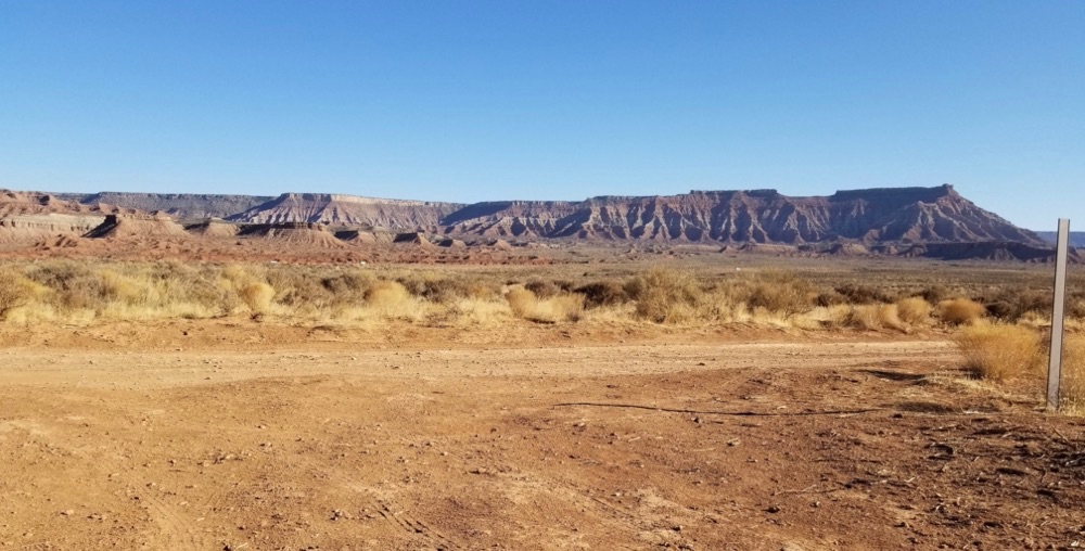
Another advantage of this weekend is that Courtney found a doggie daycare in town and we were able to bring Addie and Minnie with us!
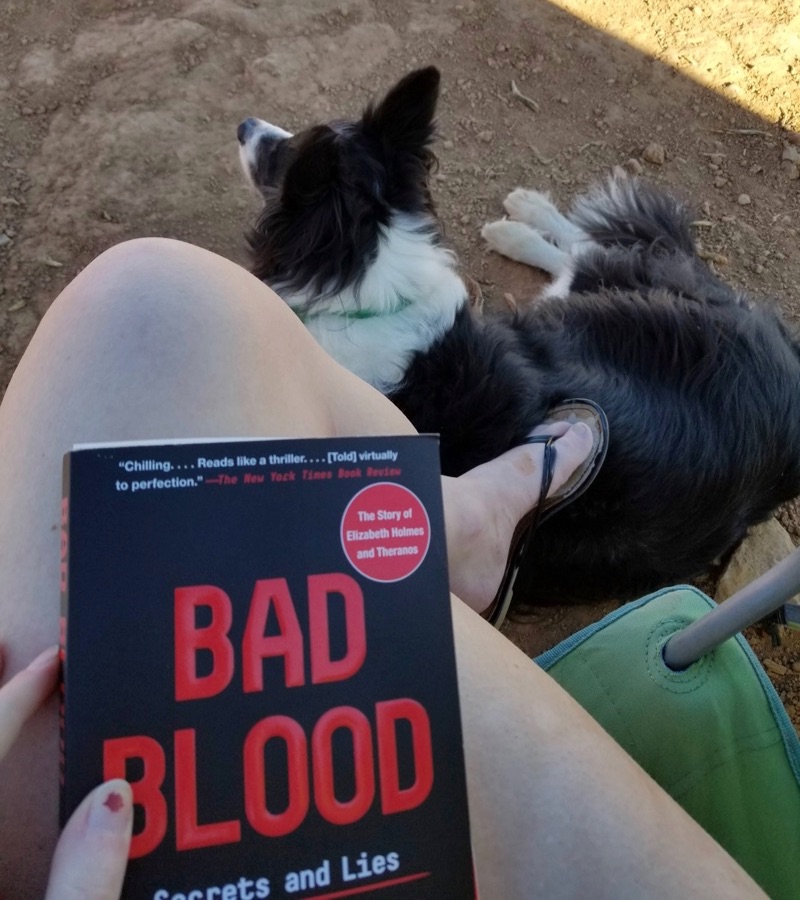
The first afternoon we just chilled in the warm sun. I read Bad Blood which is a good but also horrifying expose on a Silicon Valley startup from the mid 2000’s.
Friday night we had dinner in Hurricane at Triple TJ’s Cafe. I got the regular ol cheeseburger and it was really good! The town was pretty busy though and we had to wait 30+ minutes for our food.
Anyways, I digress. Saturday morning we headed for the park. So for Zion, to get to the main hiking areas there is a shuttle. Bless Courtney for checking up on this before we went. COVID has caused the shuttles to require $1 dollar tickets that are bought in advance. These are blocked by hour of the day and they sell out fast. Alternatives to getting up into the canyon include walking 4-8 additional miles each way, or renting a bicycle and riding in.
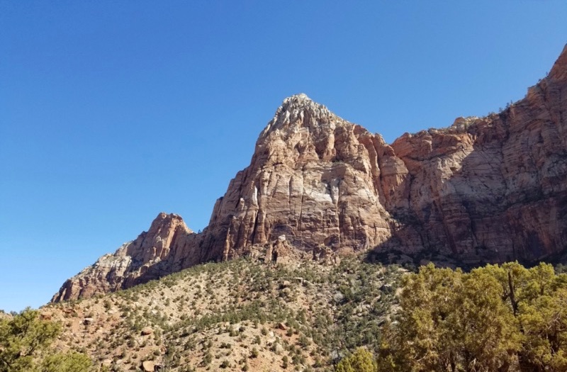
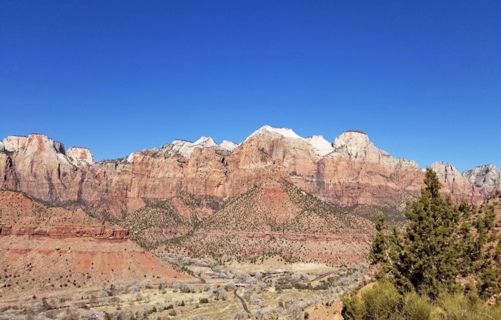
The big ticket items in Zion are the Narrows and Angel’s Landing. Both require riding the shuttle as mentioned above. However, there are some trails and things to do by the visitor center, including the Watchman Trail. At about 3.3 miles it seemed like a good way to get our day started while we waited for our turn on the shuttle. One thing that surprised me was that it was in the 60’s or 70’s and felt scorching. This hike is short but is pretty steadily inclined, and rocky.
I’d say the views at the top were solid though.
By the time we got down from there it was 12:15 PM, perfect timing for us to get in line for the shuttle. Now this was kind of scary. Zion is very popular and even in early March it was crowded. They limit how many people are allowed on each bus by removing some of the seats and prohibiting standing. When we got on at the visitor center they were enforcing everyone to be wearing masks, but later in the day we saw a LOT of people riding the shuttle without one, or wearing them improperly. The visitor center was giving out free disposable masks so Courtney and I simply doubled up our masks for extra security.
Angel’s Landing is 5.4 miles total with 1,488 feet of elevation gain. The first part of the hike includes brutal switchbacks up the side of the mountain. I have to say as a California girl I really thought I’d struggle harder on this part. This is a view from up above, on our way down:
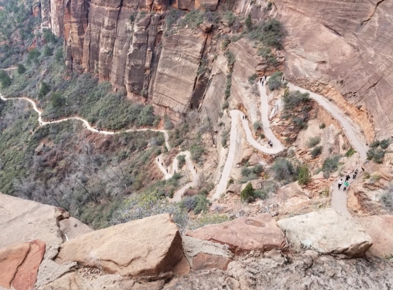
There’s a brief break in a canyon between two mountains which is very serene. Then the switchbacks start back up, but shorter and more protected from the wind this time. At the top is the land bridge that leads to Angel’s Landing. The website and all trail descriptions warn not to do this if you’re afraid of heights, and to definitely not do it if it is rainy or icy. There is no part of the Angel’s Landing hike that is dangerous if you are simply paying attention and wearing good shoes!
Another COVID note - there are parts of the land bridge where in my opinion you must touch a chain for balance. In retrospect I wish I had just worn my gloves on this hike. It’s that or bring sanitizer for the viewpoint at the end. Do not touch your mouth or eyes after touching this chain! Also there are many points at which you are passing people in close quarters so for the majority of the hike I left my mask on.
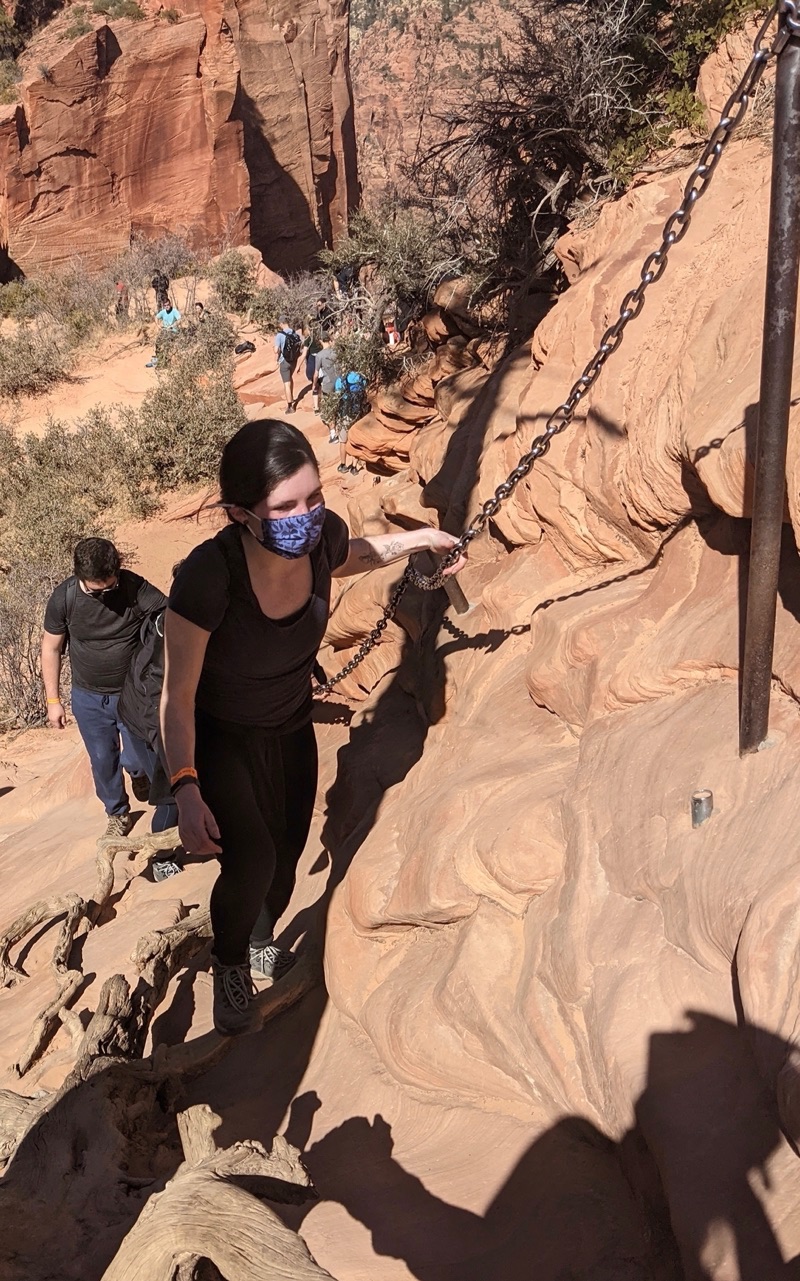
The clamboring up rocks is pretty fun but can be taxing as well. It gets steep, and it has narrow sections.
Finally there is the lookout, which is spectacular. There’s a whole riverbend under your feet, and towering mountains still to your right. There’s an amazing view of the whole valley from where you came. It’s honestly pretty hard to get a good sense of scale with my limited photography skills. Hopefully when I get around to sorting my DSLR pictures I can find better ones than these.
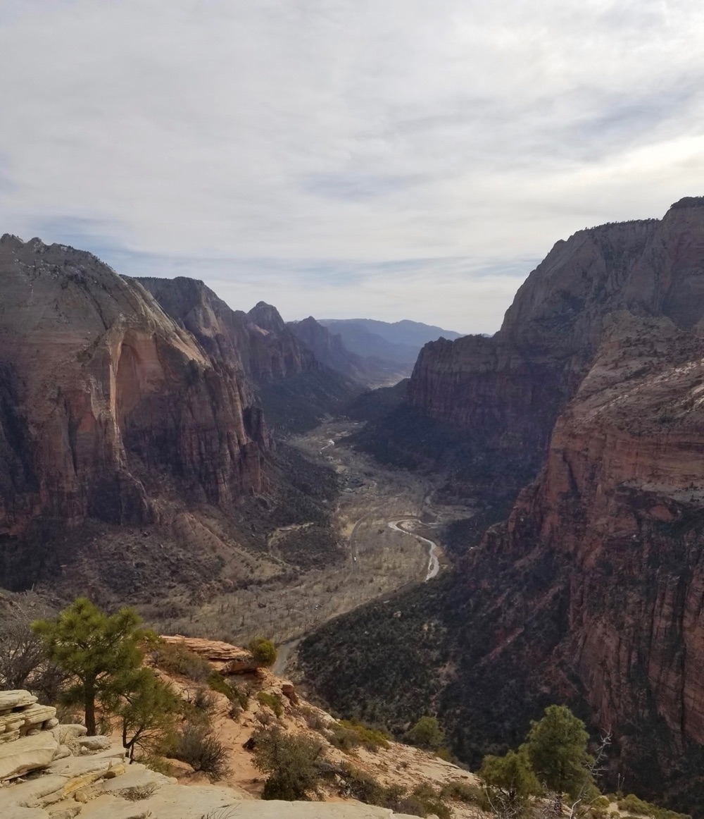
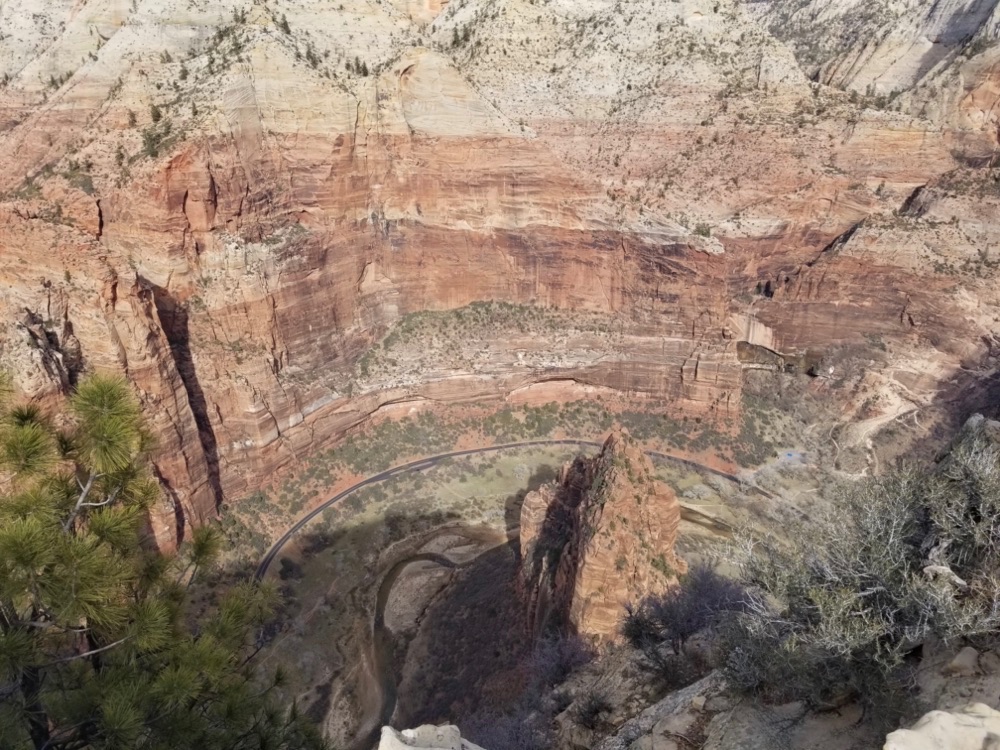
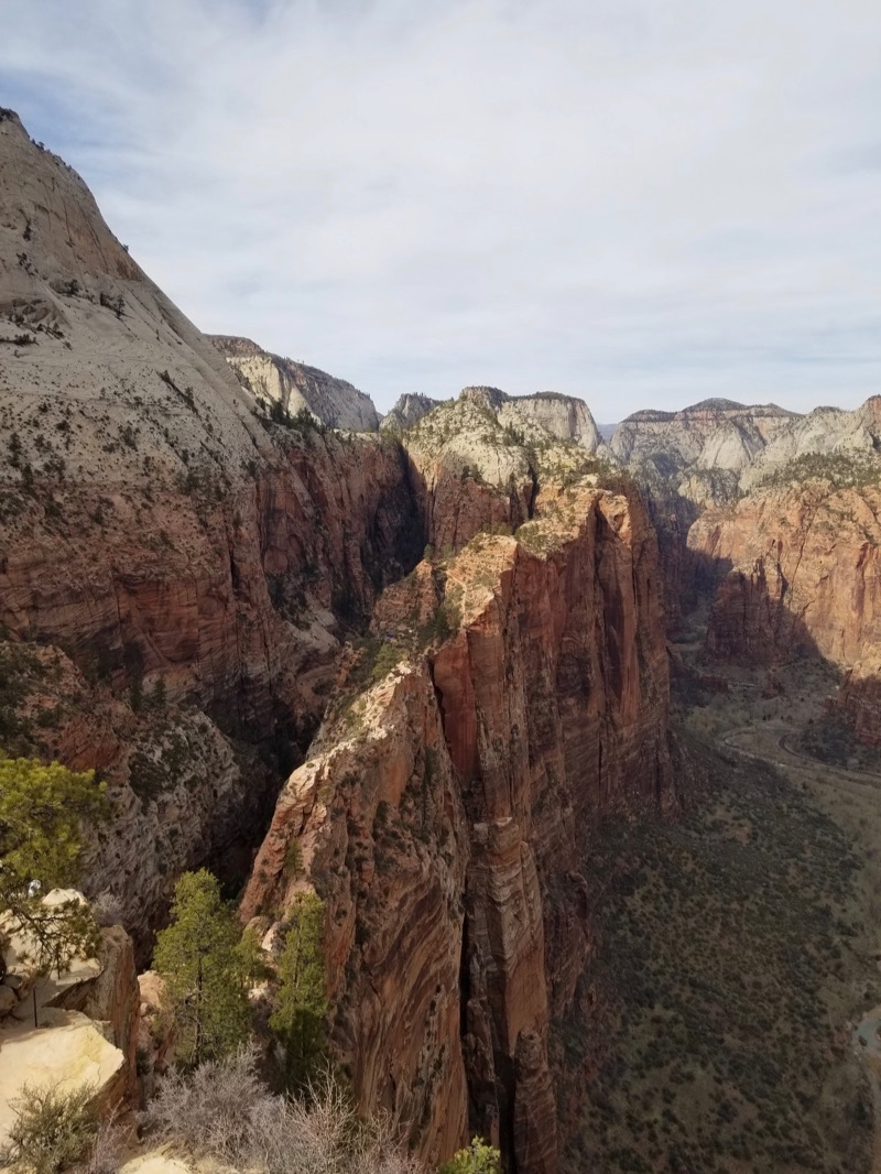
We hung out up there for a bit where, strangely, I had 4 full bars of 4G. There are a ton of little chipmunks up there that were pretty ballsy about trying to break into our packs for snacks. Beware! Don’t feed the animals!
Finally, the way down was way less stressful than the way up. We were talking about trying to at least go see the Narrows before the last shuttle at 5:45 PM but when we got back to the Grotto shuttle stop and talked to a ranger, we realized the shuttles get super backed up at the end of the day. Particularly with COVID restrictions. We had to wait probably 30-40 minutes for a spot in a shuttle. At that point we knew we wouldn’t have time for the Narrows at all.
That said in March we hadn’t been planning on doing the full Narrows hike. We had planned to just do the 1ish mile out and back to see the river essentially. Courtney says it is 100% worth doing the full hike and I must come back when it’s warmer to knock that hike out!
Sunday we intended to hike the 2.2 hike at Red Reef but I think we were a combination of dirty, tired and collectively cash-less (it requires a 5 dollar fee per car with no national park pass and a 2.5 dollar fee if you have the park pass) that we ended up just driving back to Salt Lake City and showering and crashing instead.
Monday and Tuesday I spent driving home :( I’m sorry to see Utah go and I can’t wait to go back this summer!