TEXAS
Government Canyon State Wilderness Area
This place was a tip from a random woman at a different hike while I was waiting in line for the bathroom. I’m glad I listened! Government Canyon is outside of San Antonio and about an hour and forty minutes from Austin.
I now have a state park pass so I had no issues getting in. The first thing I noticed while looking at the trail map is how MUCH trail there is! There’s an 11 mile hike on there! I was impressed, I’ve been getting used to 3-5 mile hikes as the norm.
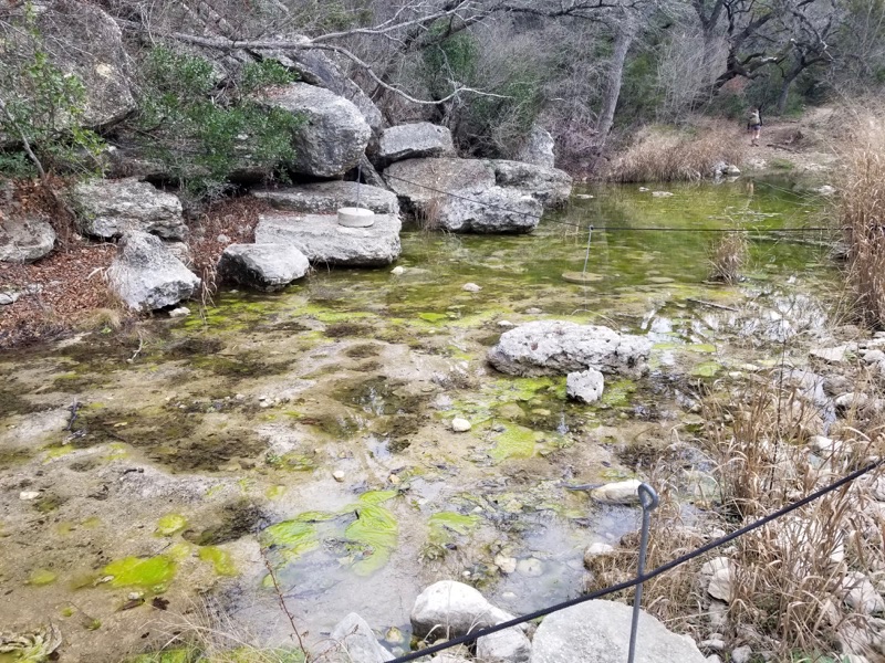
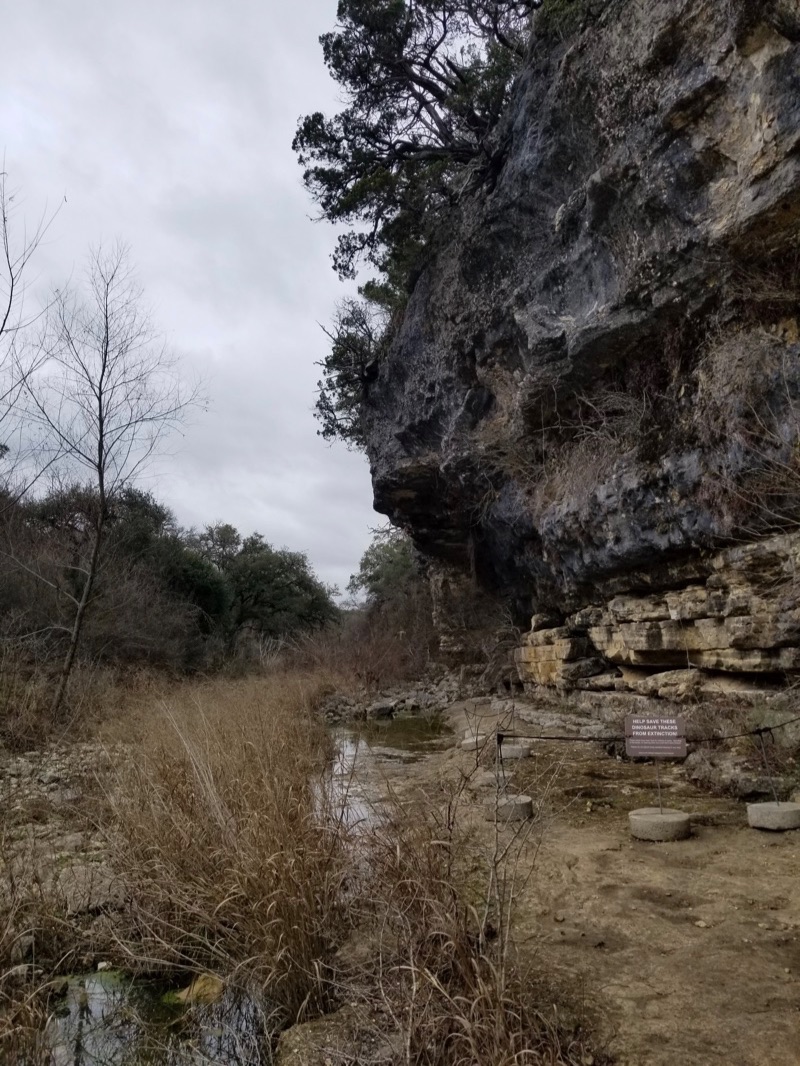
The most obvious things to go see were the dinosaur footprints and the overlook, which meant I was taking Joe Johnston Route for about 2 miles. The dinosaur footprints well, they don’t exactly look like footprints? On the other foot, they are millions of years old so maybe I can cut them a break.

The footprints were in a creek area with a bluff similar to what we’ve seen at other state parks like Inks Lake, Lost Maples etc

The next landmark was the Zizelmann house, which is a random house 2.5 miles out on the trail that some German bakers started building and never finished in the 1880’s. Apparently it’s a mystery as to why they built it since their bakery was in San Antonio. I didn’t get a close look, because I wanted to go do the outlook and come back. Which is where my plans went a little haywire.
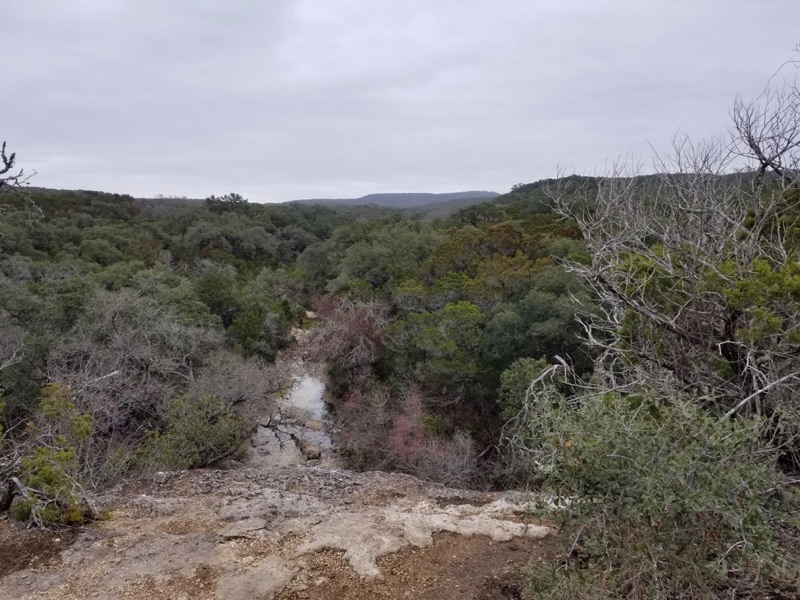
By going to the overlook, I was technically backtracking. This trail was pretty cool though, more narrow and natural, which good elevation changes and ruggedness. Which is fun because it’s what makes hiking feel like an adventure! The overlook itself is pretty meh, especially compared to Lost Maples.

I could hear the boyscouts down by the creek talking about Star Wars though :)
During the trek to the overlook (approximately 1 mile) it started to sprinkle rain. I was worried about getting rained on so instead of backtracking to the house to continue on to the Little Windmill Trail, I went back to the Joe Johnston Route from the overlook trail and went back towards the parking lot.
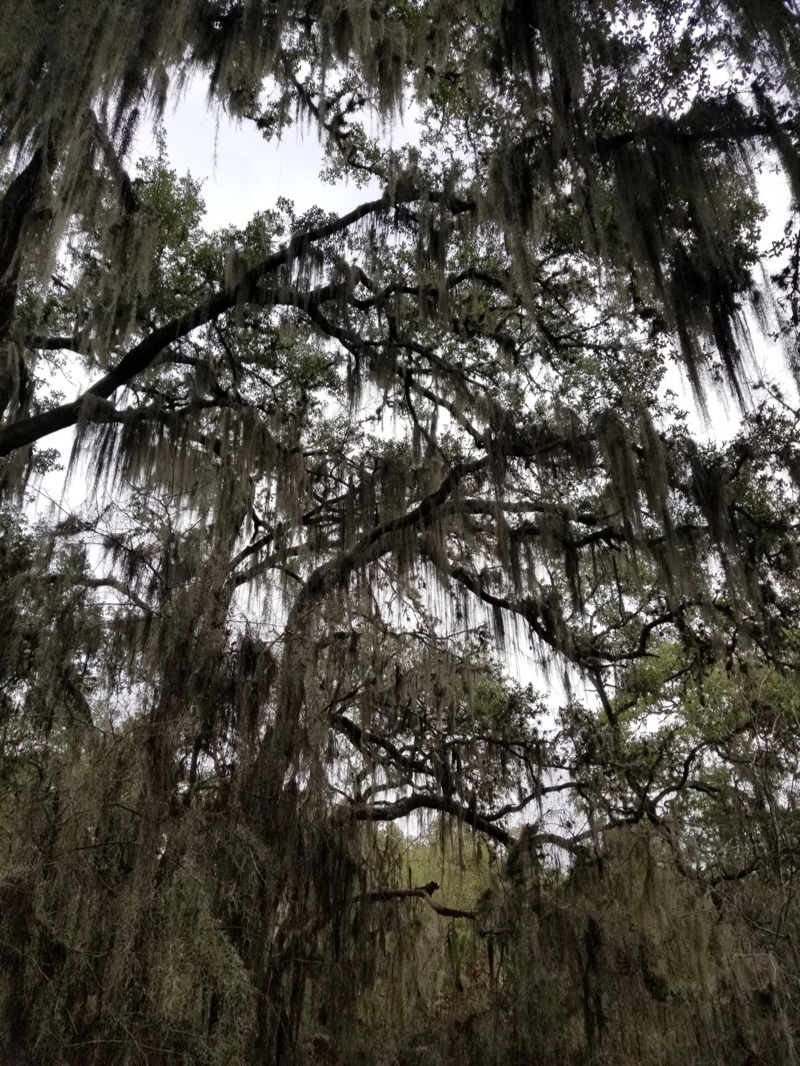
Here’s some Spanish Moss from that trail - this is a pretty typical feature for trees in humid climates.

It stopped raining so I decided to hell with it, I’m going to keep hiking even though my fitbit is already reading at 5 miles… I turned left onto the Twin Oaks Trail. This one was pretty desolate, I only saw a handful of people. It was nice to have the time alone compared to the Joe Jonston trail which had plenty of boyscout troops and couples and families and whatnot.
Not much to say about the Twin Oaks Trail, which is probably why it’s not really mentioned on the trail map. It’s kind of long and windy, not a lot of views, but that same cool tree-tunnel effect.
That brought me out to the Sendero Balcones Trail which I followed the remaining way to the visitor center. This trail was downhill for me (thankfully) but is accurately described by the trail map as rugged! Very rocky, lots of elevation change!
My final fitbit mileage: 9 miles! It was a long trip back to Austin and I know I’m going to be sore. There’s even more trail for me to do next time I’m in Government Canyon too!