CALIFORNIA
Samuel P Taylor State Park
I found this hike through redwoodhikes.com, specifically the hike to Barnabe Peak. See also the things to do page on the state park website.
My expectations were that this would be on a fire road type trail, clock in at about 5.8 miles, and have outstanding views.
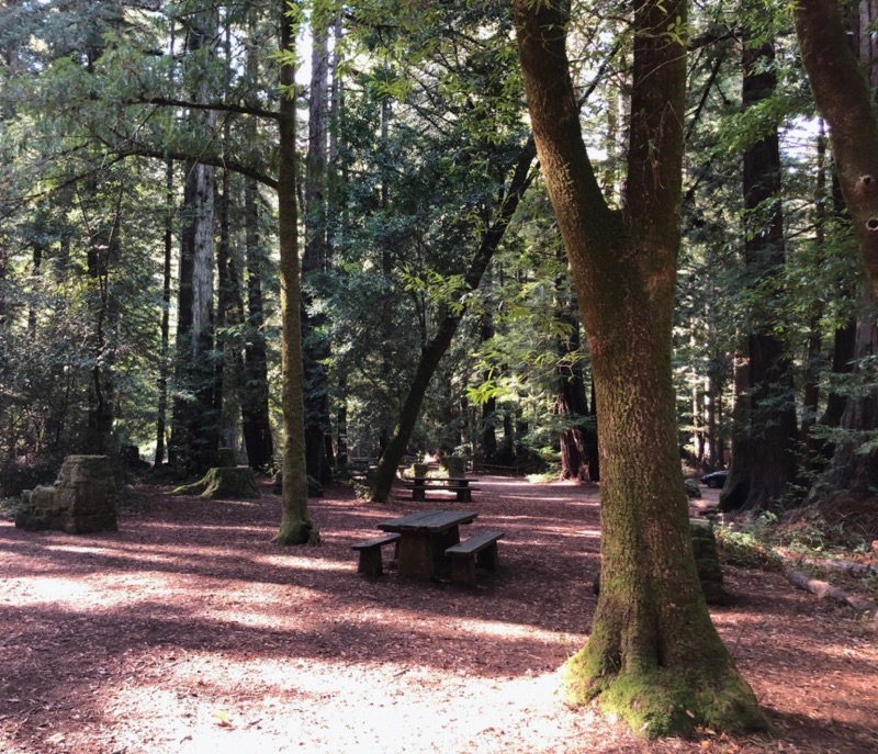
Start at Camp Taylor. Parking there as of 2020 still costs $8. I parked close to the entrance, but to get to the trailhead you should park further in. The campgrounds look beautiful in their own right and there are cabins.
TAKE A MAP!!!! The trail markers at this park are NOT good.
The state park website says to start at Devil’s Gulch, but we actually started on Lagunitas Creek, which is a flat and rectangular path that looks like a good path for kids, dogs and bikes.
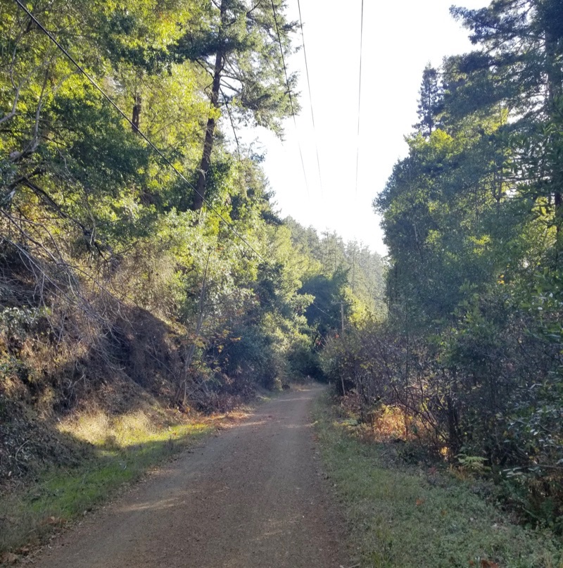
We were walking for a while when we came across a bridge and a sign. The sign was graffiti’d over, but we could still see on the map there we had somehow walked right past the path we were supposed to take. We backtracked and kept our eyes open and managed to find Barnabe Road but the sign for the split is very small. We did chalk that miss up to being in conversation and not paying attention.
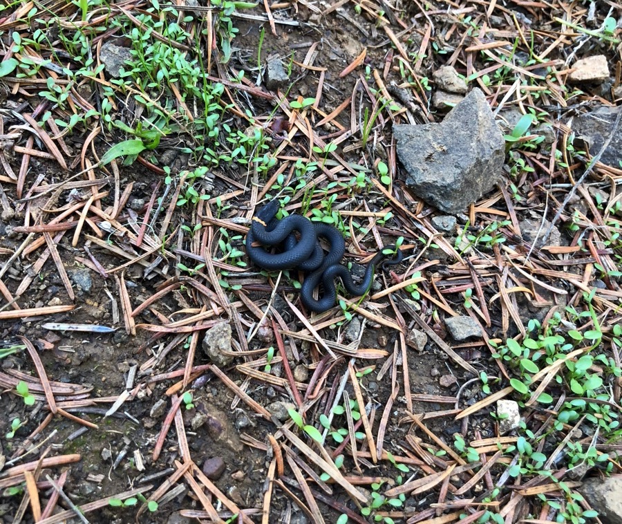
This part of the hike is VERY steep and requires some adjustment from the walking path before it. Here we encountered a little friend:
Even though I was dying from the ascent, the redwoodhikes article is correct in that the views along the crest of the hills is absolutely worth it.
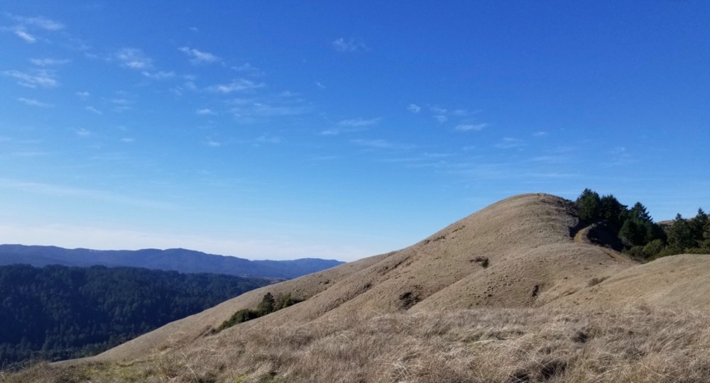
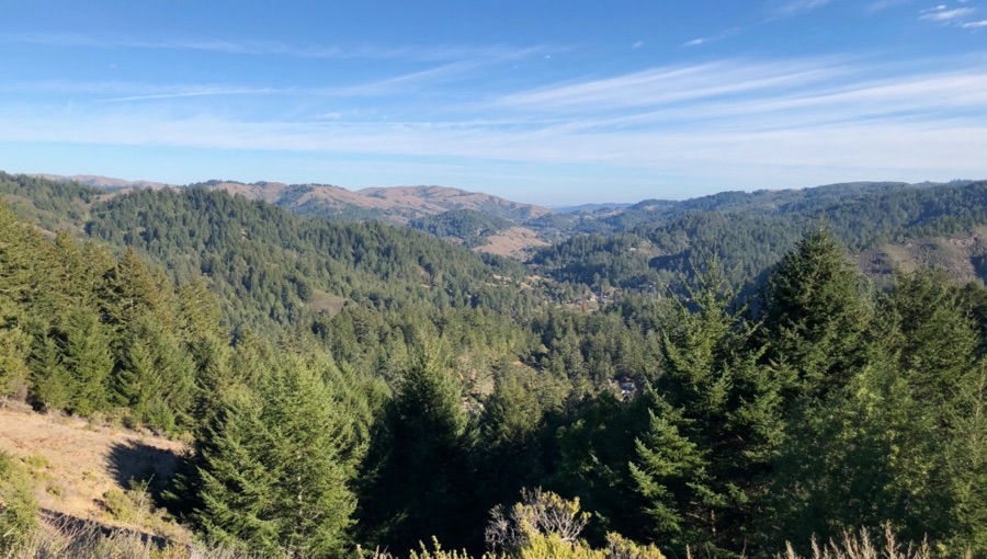
The good views meant plenty of stops for rest!
On the ridge there is a radio tower and I guess fire lookout station which is cool to look at. They appear to have tried to put fake branches on the radio tower to make it look sort of like a tree. I wonder how the birds feel about that.
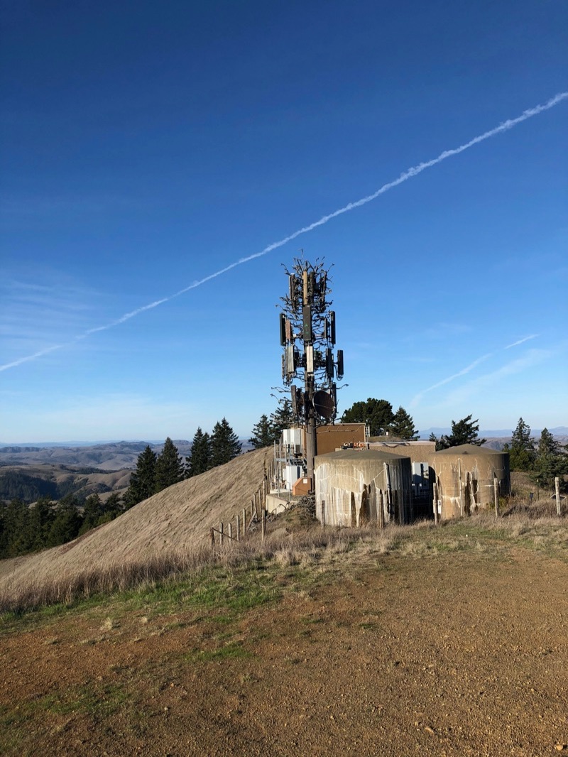
From there it is DOWN. Steep, and down. The trail is more fire road-y than the path up, and as of writing this it looked recently maintained by tractors.
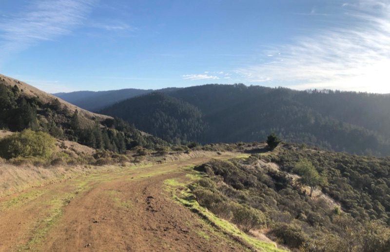
If you’re trying to go back to the parking lot from here, PAY ATTENTION TO YOUR MAP! The left turn back to the parking lot is sharp and not well signaled if you’re coming down from the peak. This is where we accidentally got onto Gravesite Road and found ourselves out in Devil’s Gulch. Also, who is naming these things?
It goes from open grassy hill to woods with creeks again and is actually pretty nice if that’s what you’re intentionally trying to do. There are signs on this trail except no signs that will tell you what trail you’re actually on.
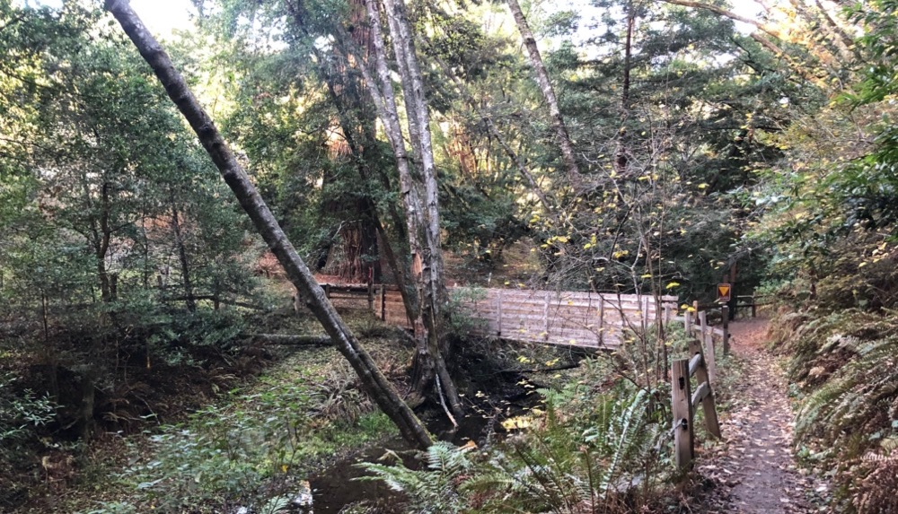
So we popped out at Devil’s Gulch trailhead. We considered walking back to Camp Taylor on the road but we looked at Google Maps and it was 1.1 miles on a fast mountain road with what you can barely consider a bicycle lane. We were losing a little steam but we forged back into Devil’s Gulch to backtrack and look for the correct trail.
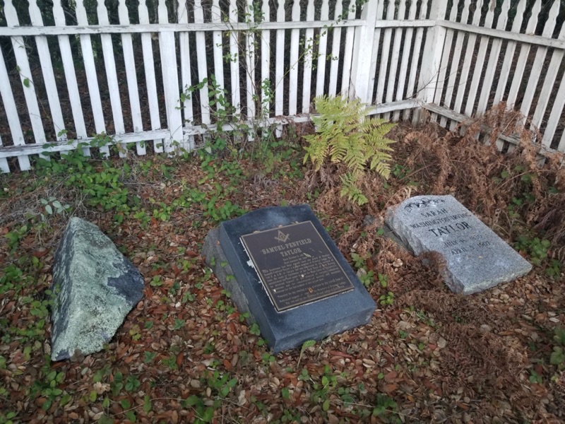
Since we were going to pass by it anyways we figured we’d do full completion and see the gravesite of Samuel P Taylor himself, and his wife Sarah Washington Irving Taylor. The state park website says the fork is unmarked but I think it was. Else I’m not totally sure how we found it at all.
Coming up from Devil’s Gulch it was MUCH easier to see how the trail splits and we found the trail back to the campground easily from there. Even though we made it back to where the cabins are, we still had to cross the street and identify a tiny trail sign and walk along a short length of trail to actually get back to our car.
Here is a map of our total walk, you can see where we overshot on both ends:
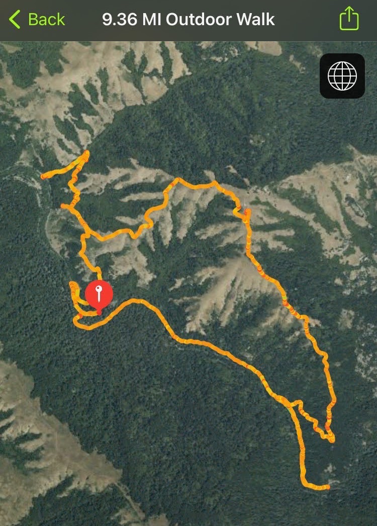
And yes, all told we hiked a little over 9 miles!
I was ready for a giant burger and Phyllis’ Giant Burgers seemed like just the ticket. I got a mushroom and cheese giant burger with fries and devoured the whole thing.