CALIFORNIA
Purisima Creek Redwoods
My big news is that I relocated to San Francisco from Austin, Texas as of Monday! This really threw a wrench in my whole plan to “appreciate Texas more” but stars aligned and here I am! Kind of terrible timing, really, with Coronavirus, to be moving to the Bay Area.
Anyways, since 20 parks in 2020 isn’t happening for Texas state parks, I’m shifting gears to a 20 park in California 2020 goal. I’ve done quite a lot of hiking near the Bay already, it might be a fun challenge to find new trails.
Good news is, they’re goddamn everwhere. Remember how I drove 1.5 hours to Government Canyon? Well no more! Purisima is in the Santa Cruz mountains, just a 20 minute drive from where I’m staying. It’s right off of Skyline (35) which in it of itself is a fun ride, and if we don’t all die from the plague, Alice’s is right down the road towards 84.
Ana and I had a late start - didn’t leave the house until nearly 2 PM - but since the park was so close, we made it out okay. It was also slightly rainy, mostly misty and foggy which was cool. The website doesn’t describe the trails well at all, but here is the trail map. If the mile markers on the map are to be believed, we hiked 6.2 miles. Since the trails all have different names this can get confusing, so make sure to have a map on your phone or printed out.
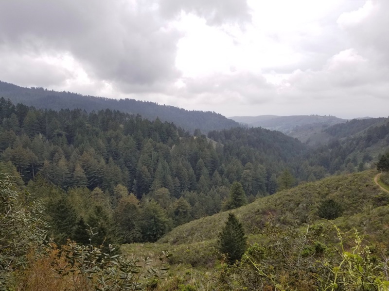
I believe our route looked like this: start at North Ridge parking (there’s space for about 30 cars if I recall correctly from the brochure). Follow the North Ridge Trail to the Whittemore Gulch Trail. This is a really nice park with great views over the hills and of the redwoods. I forgot how green everything was!
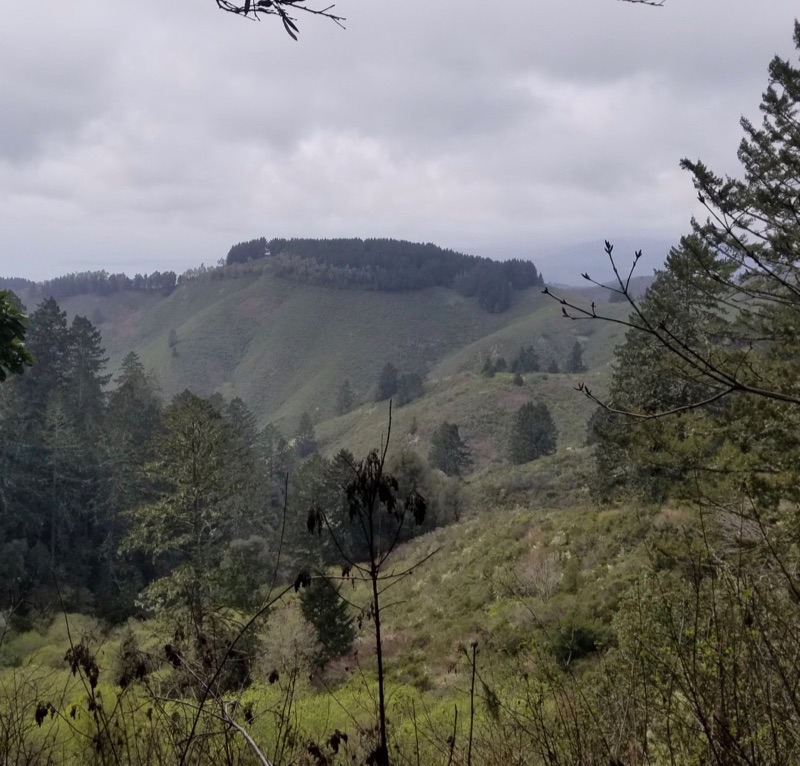
Somehow we got lost here which is why if you go make sure you have a map! The trail markers will say go to this trail to reach this trail which can be extremely confusing. We finally found the right path to Whittemore Gulch and followed it to the end, where we turned back towards the parking lot via Harkins Ridge Trail. Here is where it got STEEP! Sadly the steepness of this section is completely lost of my phone camera. Not lost on my back, hips, thighs and calves though!
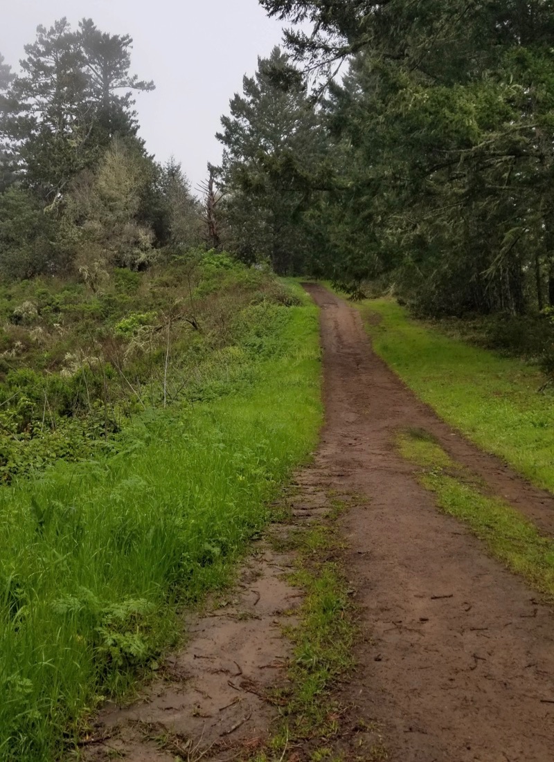
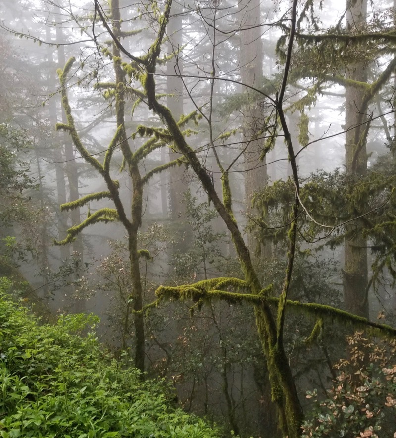
It was pretty much that steep for the entirety of Harkins Ridge. That meant our progress was a little slow and the day was inching closer to sunset. It did rain on us a few times, and we started getting eery fog views. I also suspect because of the elevation and fogginess that’s why there’s moss on the trees which looks really cool. I will say I’m probably more starstruck than normal on this hike because I’ve been enduring Texas hiking for the last two years haha!
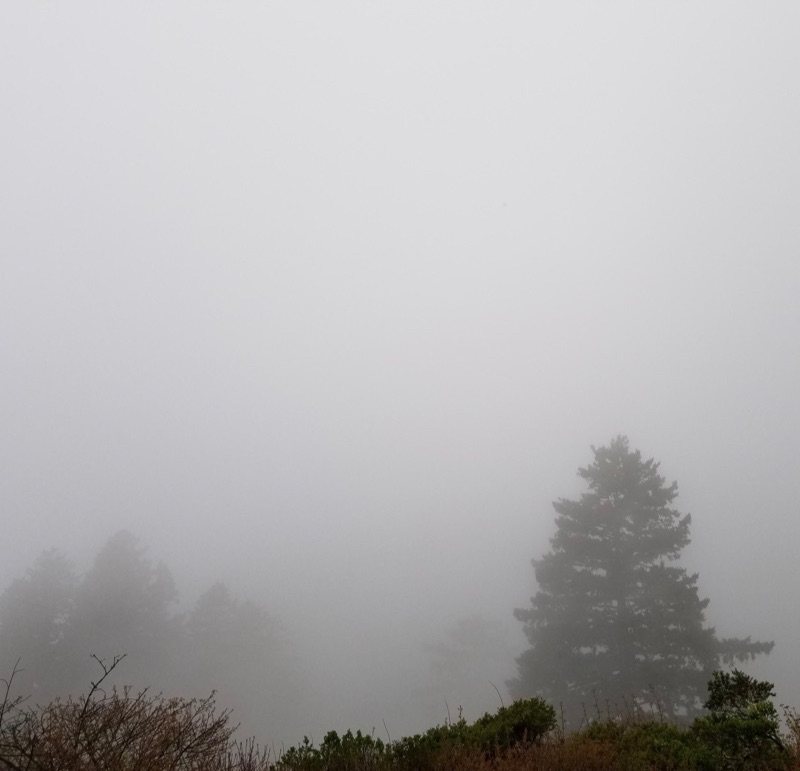
We made it back to the truck with our legs burning and orderd Habit Burger for delivery for my customary post-hike burger!
Stay safe and stay healthy, until next time!